• Skip to main content
  • Skip to after header navigation
  • Skip to site footer

Glover Park History

Historical Sketches of Glover Park, Upper Georgetown, and Georgetown Heights by Carlton Fletcher

  • Neighborhood
    • Neighborhood Histories
    • Neighborhood Images
    • Family Album
    • Oral History and Reminiscences
    • Residential Development Before 1926
    • Residential Development Since 1926
    • Investors & Developers
  • Population
    • Settlement
    • Kinds of Work
    • Settlers
    • Slavery
  • Geography
    • Maps, Places & Features
    • Streets
  • Estates & Farms
    • Alliance Farm
    • Burleith
    • Cedars
    • Clifton
    • Greenwood
    • Hillandale
    • Mount Alto
    • Normanstone
    • North View
    • Tunlaw Farm
    • Weston
  • Institutions
    • Former Institutions
    • Present Institutions
  • Cemeteries
    • Burial Grounds of Georgetown
    • Holy Rood Cemetery
    • Buried in Holy Rood
  • Civil War
    • The Civil War on Georgetown Heights
    • Local People in the Civil War
  • Appendix
Home » Neighborhood » Oral History and Reminiscences » Kathleen McCormick: B.T. Field

Kathleen McCormick: B.T. Field


Photo circa 1950, courtesy of Kathleen McCormick


Kathleen McCormick writes: “I was born in Georgetown and we moved to 3826 W Street in 1940. Our townhouse backed up to the large field of grass. Every week or so city-employed men with teams of mules cut the grass. I was a horse-crazy kid of eight or ten years and would spend all day watching that team mow the field. Finally the driver realized I just wasn’t going to go away and at lunchtime he would let me groom the mules and even sit on their backs. That was the beginning of a lifelong association with horse and mules.”


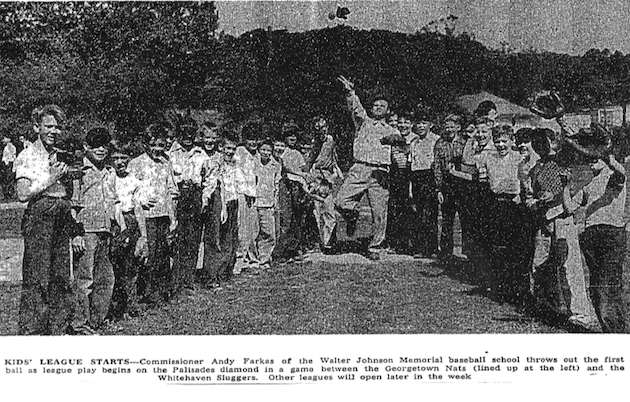
Mike McKinley remembered that, in the 1940s, the large meadow in Whitehaven Park, south of the intersection of 39th and W Street, was called B.T. Woods, which the children he played with assumed stood for Big Trees. Actually, it is more likely that they stand for  Bryan Town, a long-forgotten neighborhood on the northwestern fringe of Georgetown, whose boys used to come up the hill to play there, decades before Burleith and Glover Park were developed.   (See Francis McKinley: Remembering Glover Park in the Forties, and Bryantown.)


(Washington Post, May 27, 1947, p.12)
B.T. Field was the home field of the Whitehaven Sluggers.  (Washington Post, May 27, 1947, p.12)


________________________________________________________

Carlton Fletcher

 The citation and acknowledgement of my research is greatly appreciated.

All rights reserved.


 Questions and corrections may be directed to

moc.yrotsihkraprevolg@notlrac


The support of the Advisory Neighborhood Council (3B) is gratefully acknowledged. 


Category: Oral History and Reminiscences

Questions and corrections may be directed to moc.yrotsihkraprevolg@notlrac
The citation and acknowledgement of my research is greatly appreciated.
The support of the Advisory Neighborhood Council (3B) is gratefully acknowledged.

Copyright © 2025 · Glover Park History · All Rights Reserved